
宁江区 topographic map
Interactive map
Click on the map to display elevation.
About this map
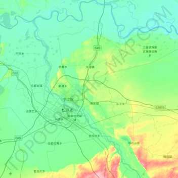
Name: 宁江区 topographic map, elevation, terrain.
Location: 宁江区, 松原市, 吉林省, 中国 (44.90870 124.57081 45.50349 125.26386)
Average elevation: 145 m
Minimum elevation: 121 m
Maximum elevation: 256 m
Other topographic maps
Click on a map to view its topography, its elevation and its terrain.