
石鼓镇 topographic map
Interactive map
Click on the map to display elevation.
About this map
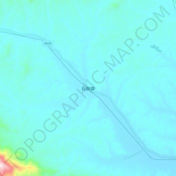
Name: 石鼓镇 topographic map, elevation, terrain.
Location: 石鼓镇, 湘潭县, 湘潭市, 湖南省, 中国 (27.48604 112.46254 27.56604 112.54254)
Average elevation: 122 m
Minimum elevation: 73 m
Maximum elevation: 731 m
Other topographic maps
Click on a map to view its topography, its elevation and its terrain.