
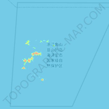
浙江象山韭山列岛海洋生态国家级自然保护区 topographic map
Interactive map
Click on the map to display elevation.
About this map
Name: 浙江象山韭山列岛海洋生态国家级自然保护区 topographic map, elevation, terrain.
Location: 浙江象山韭山列岛海洋生态国家级自然保护区, 象山县, 宁波市, 浙江省, 中国 (29.31940 122.14068 29.55092 122.41826)
Average elevation: 0 m
Minimum elevation: 0 m
Maximum elevation: 148 m
Other topographic maps
Click on a map to view its topography, its elevation and its terrain.