
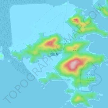
花岙岛 topographic map
Interactive map
Click on the map to display elevation.
About this map
Name: 花岙岛 topographic map, elevation, terrain.
Location: 花岙岛, 象山县, 宁波市, 浙江省, 中国 (29.05407 121.78584 29.10220 121.83838)
Average elevation: 29 m
Minimum elevation: -3 m
Maximum elevation: 299 m
Other topographic maps
Click on a map to view its topography, its elevation and its terrain.