Geolocate

岵山镇 topographic map

Interactive map

Click on the map to display elevation.

About this map

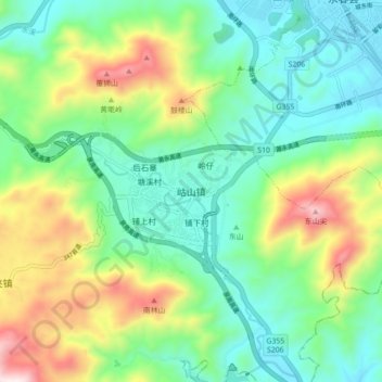
Name: 岵山镇 topographic map, elevation, terrain.

Location: 岵山镇, 永春县, 泉州市, 福建省, 中国 (25.24365 118.21428 25.32365 118.29428)

Average elevation: 348 m

Minimum elevation: 109 m

Maximum elevation: 885 m

Other topographic maps

Click on a map to view its topography, its elevation and its terrain.

茂霞村

中国 > 福建省 > 永春县

茂霞村, 永春县, 泉州市, 福建省, 中国

Average elevation: 294 m

达埔镇

中国 > 福建省 > 永春县

达埔镇, 永春县, 泉州市, 福建省, 中国

Average elevation: 412 m

玉斗镇

中国 > 福建省 > 永春县

玉斗镇, 永春县, 泉州市, 福建省, 中国

Average elevation: 524 m

介福乡

中国 > 福建省 > 永春县

介福乡, 永春县, 泉州市, 福建省, 中国

Average elevation: 595 m

永春县

中国 > 福建省 > 永春县 > 桃城镇

永春县, 桃城镇, 永春县, 泉州市, 福建省, 中国

Average elevation: 410 m

岭格

中国 > 福建省 > 永春县 > 岭格

岭格, 永春县, 泉州市, 福建省, 中国

Average elevation: 321 m