
玉斗镇 topographic map
Interactive map
Click on the map to display elevation.
About this map
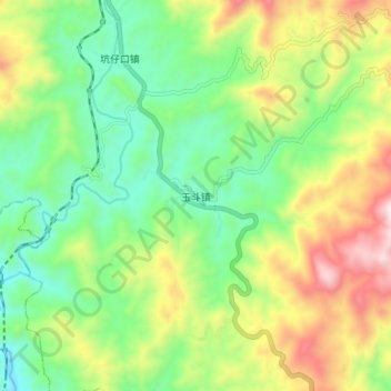
Name: 玉斗镇 topographic map, elevation, terrain.
Location: 玉斗镇, 永春县, 泉州市, 福建省, 中国 (25.35386 117.99460 25.43386 118.07460)
Average elevation: 524 m
Minimum elevation: 237 m
Maximum elevation: 1,013 m
Other topographic maps
Click on a map to view its topography, its elevation and its terrain.