
黄岗梁林场 topographic map
Interactive map
Click on the map to display elevation.
About this map
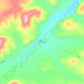
Name: 黄岗梁林场 topographic map, elevation, terrain.
Location: 黄岗梁林场, 克什克腾旗, 赤峰市, 内蒙古自治区, 中国 (43.56979 117.51296 43.60979 117.55296)
Average elevation: 1,489 m
Minimum elevation: 1,372 m
Maximum elevation: 1,684 m
Other topographic maps
Click on a map to view its topography, its elevation and its terrain.