
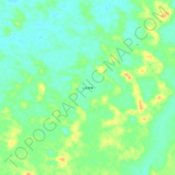
公主昂嘎 topographic map
Interactive map
Click on the map to display elevation.
About this map
Name: 公主昂嘎 topographic map, elevation, terrain.
Location: 公主昂嘎, 达日罕乌拉苏木, 克什克腾旗, 赤峰市, 内蒙古自治区, 中国 (43.13971 116.67597 43.17971 116.71597)
Average elevation: 1,297 m
Minimum elevation: 1,282 m
Maximum elevation: 1,320 m