
鸡鸣乡 topographic map
Interactive map
Click on the map to display elevation.
About this map
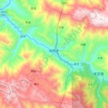
Name: 鸡鸣乡 topographic map, elevation, terrain.
Location: 鸡鸣乡, 城口县, 渝东北三峡库区城镇群区位, 重庆市, 中国 (31.66143 108.51087 31.76033 108.64961)
Average elevation: 1,480 m
Minimum elevation: 646 m
Maximum elevation: 2,533 m
Other topographic maps
Click on a map to view its topography, its elevation and its terrain.