
Thank you for supporting this site ❤️
Make a donation
Make a donation
Xuefu topographic map
Click on the map to display elevation.
Thank you for supporting this site ❤️
Make a donation
Make a donation
About this map
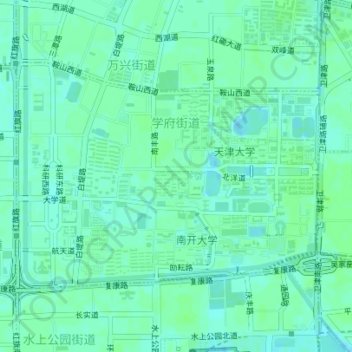
Name: Xuefu topographic map, elevation, terrain.
Location: Xuefu, Nankai District, Tianjin, China (39.09813 117.14305 39.11555 117.17311)
Average elevation: 7 m
Minimum elevation: 3 m
Maximum elevation: 10 m
Thank you for supporting this site ❤️
Make a donation
Make a donation
Other topographic maps
Click on a map to view its topography, its elevation and its terrain.
Nankai
China > Tianjin > Nankai District
Nankai District is located in the south-west corner of the urban Tianjin, bordered by Hongqiao District to the north, Hebei and Heping Districts to the north-east, Hexi District to the east and Xiqing District to the south-west. It occupies an area of 40.64 square kilometres (15.69 sq mi). The natural…
Average elevation: 5 m