
罗镇 topographic map
Interactive map
Click on the map to display elevation.
About this map
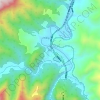
Name: 罗镇 topographic map, elevation, terrain.
Location: 罗镇, 西乡县, 汉中市, 陕西省, 中国 (32.86618 107.80223 32.90618 107.84223)
Average elevation: 669 m
Minimum elevation: 461 m
Maximum elevation: 1,270 m
Other topographic maps
Click on a map to view its topography, its elevation and its terrain.