
骆家坝镇 topographic map
Interactive map
Click on the map to display elevation.
About this map
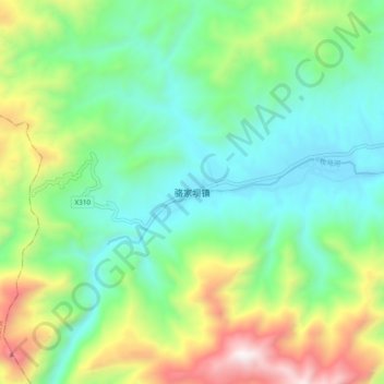
Name: 骆家坝镇 topographic map, elevation, terrain.
Location: 骆家坝镇, 西乡县, 汉中市, 陕西省, 中国 (32.77448 107.38614 32.85448 107.46614)
Average elevation: 965 m
Minimum elevation: 569 m
Maximum elevation: 1,857 m
Other topographic maps
Click on a map to view its topography, its elevation and its terrain.