
盛庄街道 topographic map
Interactive map
Click on the map to display elevation.
About this map
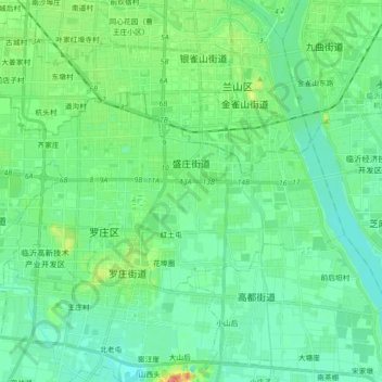
Name: 盛庄街道 topographic map, elevation, terrain.
Location: 盛庄街道, 罗庄区, 临沂市, 山东省, 276017, 中国 (34.97487 118.21311 35.05100 118.39213)
Average elevation: 67 m
Minimum elevation: 51 m
Maximum elevation: 117 m
Other topographic maps
Click on a map to view its topography, its elevation and its terrain.