
罗庄街道 topographic map
Interactive map
Click on the map to display elevation.
About this map
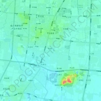
Name: 罗庄街道 topographic map, elevation, terrain.
Location: 罗庄街道, 罗庄区, 临沂市, 山东省, 中国 (34.93010 118.21898 35.00054 118.33400)
Average elevation: 65 m
Minimum elevation: 51 m
Maximum elevation: 153 m
Other topographic maps
Click on a map to view its topography, its elevation and its terrain.