
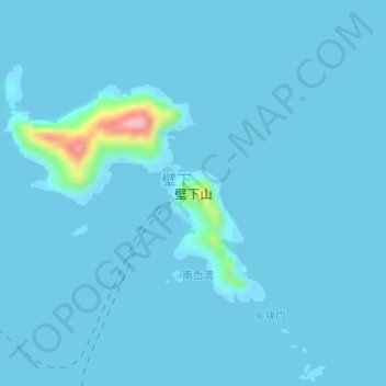
壁下山 topographic map
Interactive map
Click on the map to display elevation.
About this map
Name: 壁下山 topographic map, elevation, terrain.
Location: 壁下山, 舟山群岛新区, 嵊泗县, 舟山市, 浙江省, 中国 (30.77767 122.77098 30.79296 122.79237)
Average elevation: 6 m
Minimum elevation: 0 m
Maximum elevation: 151 m
Other topographic maps
Click on a map to view its topography, its elevation and its terrain.