
菜园镇 topographic map
Interactive map
Click on the map to display elevation.
About this map
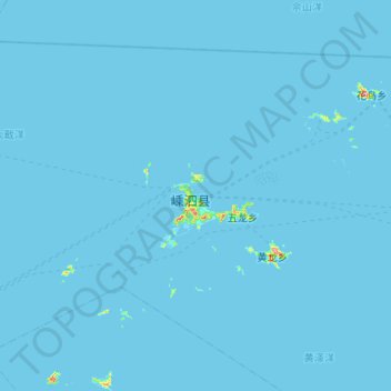
Name: 菜园镇 topographic map, elevation, terrain.
Location: 菜园镇, 舟山群岛新区, 嵊泗县, 舟山市, 浙江省, 202450, 中国 (30.55295 122.16969 30.91039 122.69377)
Average elevation: 1 m
Minimum elevation: -2 m
Maximum elevation: 218 m
Other topographic maps
Click on a map to view its topography, its elevation and its terrain.