
Burkettsville topographic map
Interactive map
Click on the map to display elevation.
About this map
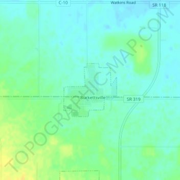
Name: Burkettsville topographic map, elevation, terrain.
Location: Burkettsville, Mercer County, Ohio, 45310, United States (40.34911 -84.64794 40.35708 -84.63751)
Average elevation: 299 m
Minimum elevation: 291 m
Maximum elevation: 313 m
Other topographic maps
Click on a map to view its topography, its elevation and its terrain.
Fort Recovery
United States > Ohio > Mercer County > Fort Recovery
Fort Recovery, Mercer County, Ohio, United States
Average elevation: 289 m
Celina
United States > Ohio > Mercer County
Celina, Mercer County, Ohio, United States
Average elevation: 266 m
St. Henry
United States > Ohio > Mercer County > St. Henry
St. Henry, Mercer County, Ohio, United States
Average elevation: 294 m
Coldwater
United States > Ohio > Mercer County > Coldwater
Coldwater, Mercer County, Ohio, 45828, United States
Average elevation: 276 m