
Thank you for supporting this site ❤️
Make a donation
Make a donation
Fort Recovery topographic map
Click on the map to display elevation.
Thank you for supporting this site ❤️
Make a donation
Make a donation
About this map
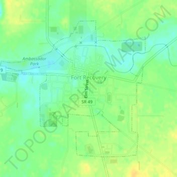
Name: Fort Recovery topographic map, elevation, terrain.
Location: Fort Recovery, Mercer County, Ohio, United States (40.40067 -84.79401 40.42144 -84.76503)
Average elevation: 289 m
Minimum elevation: 277 m
Maximum elevation: 301 m
Thank you for supporting this site ❤️
Make a donation
Make a donation