
Bergem topographic map
Interactive map
Click on the map to display elevation.
About this map
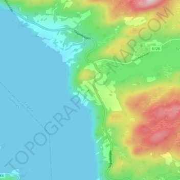
Name: Bergem topographic map, elevation, terrain.
Location: Bergem, Tingvoll, Møre og Romsdal, Norvège (62.91991 8.12974 62.95991 8.16974)
Average elevation: 91 m
Minimum elevation: -3 m
Maximum elevation: 353 m
Other topographic maps
Click on a map to view its topography, its elevation and its terrain.