
Aure topographic map
Interactive map
Click on the map to display elevation.
About this map
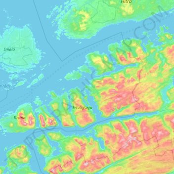
Name: Aure topographic map, elevation, terrain.
Location: Aure, Møre og Romsdal, Norvège (63.11544 7.74368 63.44748 8.91107)
Average elevation: 153 m
Minimum elevation: -2 m
Maximum elevation: 961 m
Other topographic maps
Click on a map to view its topography, its elevation and its terrain.