
龙湾镇 topographic map
Interactive map
Click on the map to display elevation.
About this map
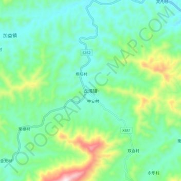
Name: 龙湾镇 topographic map, elevation, terrain.
Location: 龙湾镇, 罗定市, 云浮市, 广东省, 中国 (22.65689 111.14930 22.73689 111.22930)
Average elevation: 361 m
Minimum elevation: 185 m
Maximum elevation: 885 m
Other topographic maps
Click on a map to view its topography, its elevation and its terrain.