
连州河 topographic map
Interactive map
Click on the map to display elevation.
About this map
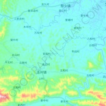
Name: 连州河 topographic map, elevation, terrain.
Location: 连州河, 连北村, 罗定市, 云浮市, 广东省, 中国 (22.64469 111.36889 22.68630 111.50909)
Average elevation: 121 m
Minimum elevation: 49 m
Maximum elevation: 560 m