
广州从化抽水蓄能电厂 topographic map
Interactive map
Click on the map to display elevation.
About this map
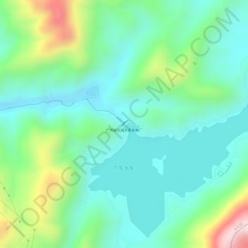
Name: 广州从化抽水蓄能电厂 topographic map, elevation, terrain.
Location: 广州从化抽水蓄能电厂, 从化区, 广州市, 广东省, 中国 (23.77187 113.95767 23.77279 113.95861)
Average elevation: 357 m
Minimum elevation: 246 m
Maximum elevation: 621 m
Other topographic maps
Click on a map to view its topography, its elevation and its terrain.