
殷家庄 topographic map
Interactive map
Click on the map to display elevation.
About this map
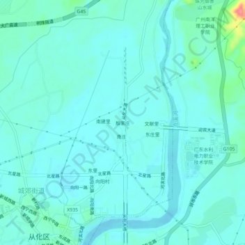
Name: 殷家庄 topographic map, elevation, terrain.
Location: 殷家庄, 从化区, 广州市, 广东省, 中国 (23.54942 113.57537 23.58942 113.61537)
Average elevation: 36 m
Minimum elevation: 23 m
Maximum elevation: 109 m
Other topographic maps
Click on a map to view its topography, its elevation and its terrain.