
Thank you for supporting this site ❤️
Make a donation
Make a donation
Castle Downs topographic map
Click on the map to display elevation.
Thank you for supporting this site ❤️
Make a donation
Make a donation
About this map
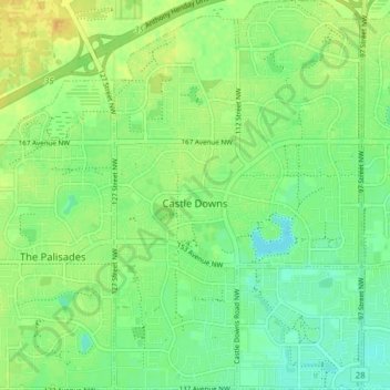
Name: Castle Downs topographic map, elevation, terrain.
Location: Castle Downs, Edmonton, Alberta, Canada (53.59944 -113.54128 53.64548 -113.49150)
Average elevation: 682 m
Minimum elevation: 670 m
Maximum elevation: 695 m
Thank you for supporting this site ❤️
Make a donation
Make a donation
Other topographic maps
Click on a map to view its topography, its elevation and its terrain.