
Thank you for supporting this site ❤️
Make a donation
Make a donation
Ruette topographic map
Click on the map to display elevation.
Thank you for supporting this site ❤️
Make a donation
Make a donation
About this map
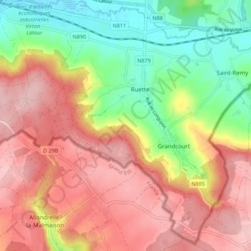
Name: Ruette topographic map, elevation, terrain.
Location: Ruette, Virton, Luxembourg, Wallonie, Belgique (49.50597 5.55655 49.55448 5.63556)
Average elevation: 310 m
Minimum elevation: 206 m
Maximum elevation: 400 m
Thank you for supporting this site ❤️
Make a donation
Make a donation
Other topographic maps
Click on a map to view its topography, its elevation and its terrain.