
Thank you for supporting this site ❤️
Make a donation
Make a donation
Saint-Remy topographic map
Click on the map to display elevation.
Thank you for supporting this site ❤️
Make a donation
Make a donation
About this map
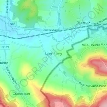
Name: Saint-Remy topographic map, elevation, terrain.
Location: Saint-Remy, Virton, Luxembourg, Wallonie, Belgique (49.52111 5.60287 49.56111 5.64287)
Average elevation: 265 m
Minimum elevation: 213 m
Maximum elevation: 404 m
Thank you for supporting this site ❤️
Make a donation
Make a donation
Other topographic maps
Click on a map to view its topography, its elevation and its terrain.
Thank you for supporting this site ❤️
Make a donation
Make a donation
Thank you for supporting this site ❤️
Make a donation
Make a donation