
红水河 topographic map
Interactive map
Click on the map to display elevation.
About this map
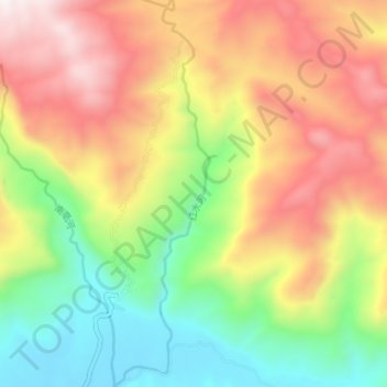
Name: 红水河 topographic map, elevation, terrain.
Location: 红水河, 乐东县, 乐东黎族自治县, 海南省, 中国 (18.82232 109.16569 18.88903 109.18315)
Average elevation: 701 m
Minimum elevation: 150 m
Maximum elevation: 1,343 m
Other topographic maps
Click on a map to view its topography, its elevation and its terrain.