
望楼河 topographic map
Interactive map
Click on the map to display elevation.
About this map
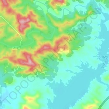
Name: 望楼河 topographic map, elevation, terrain.
Location: 望楼河, 乐东县, 乐东黎族自治县, 海南省, 中国 (18.63028 109.06591 18.69143 109.10929)
Average elevation: 209 m
Minimum elevation: 145 m
Maximum elevation: 388 m
Other topographic maps
Click on a map to view its topography, its elevation and its terrain.