
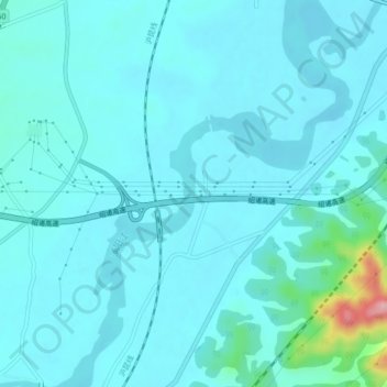
浦阳江 topographic map
Interactive map
Click on the map to display elevation.
About this map
Name: 浦阳江 topographic map, elevation, terrain.
Location: 浦阳江, 诸暨市, 绍兴市, 浙江省, 中国 (29.55876 120.12664 29.59671 120.15910)
Average elevation: 29 m
Minimum elevation: 11 m
Maximum elevation: 175 m
Other topographic maps
Click on a map to view its topography, its elevation and its terrain.