
诸暨城市广场 topographic map
Interactive map
Click on the map to display elevation.
About this map
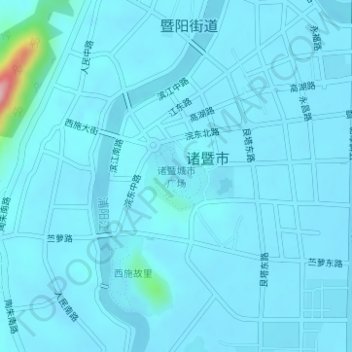
Name: 诸暨城市广场 topographic map, elevation, terrain.
Location: 诸暨城市广场, 诸暨市, 绍兴市, 浙江省, 中国 (29.70700 120.23635 29.71246 120.24204)
Average elevation: 20 m
Minimum elevation: 9 m
Maximum elevation: 199 m
Other topographic maps
Click on a map to view its topography, its elevation and its terrain.