
紫帽山 topographic map
Interactive map
Click on the map to display elevation.
About this map
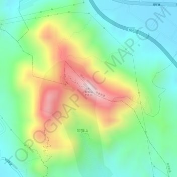
Name: 紫帽山 topographic map, elevation, terrain.
Location: 紫帽山, 晋江市, 泉州市, 福建省, 中国 (24.89729 118.50393 24.89739 118.50403)
Average elevation: 188 m
Minimum elevation: 9 m
Maximum elevation: 484 m
Other topographic maps
Click on a map to view its topography, its elevation and its terrain.