
Starbase topographic map
Click on the map to display elevation.
Starbase
SpaceX conducted a groundbreaking ceremony on the new launch facility in September 2014, and soil preparation began in October 2015. The first tracking antenna was installed in August 2016, and the first propellant tank arrived in July 2018. In late 2018, construction ramped up considerably, and the site saw the fabrication of the first 9 m-diameter (30 ft) prototype test vehicle, Starhopper, which was tested and flown March–August 2019. Through 2021, additional prototype flight vehicles were being built at the facility for higher-altitude tests. By late 2023, over 2,100 full-time employees were working at the site.
About this map
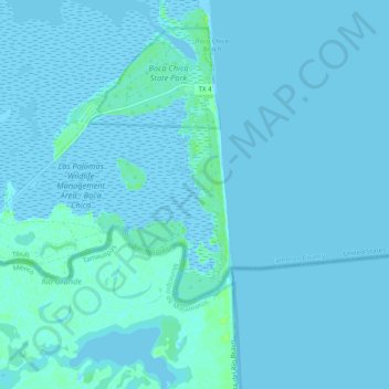
Name: Starbase topographic map, elevation, terrain.
Average elevation: 2 m
Minimum elevation: -4 m
Maximum elevation: 11 m
Other topographic maps
Click on a map to view its topography, its elevation and its terrain.