
Remington topographic map
Click on the map to display elevation.
About this map
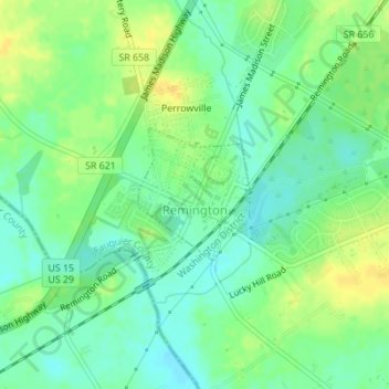
Name: Remington topographic map, elevation, terrain.
Location: Remington, Fauquier County, Virginia, 22734, United States (38.52975 -77.81349 38.53902 -77.80355)
Average elevation: 88 m
Minimum elevation: 77 m
Maximum elevation: 101 m
Other topographic maps
Click on a map to view its topography, its elevation and its terrain.