
Sumerduck topographic map
Click on the map to display elevation.
About this map
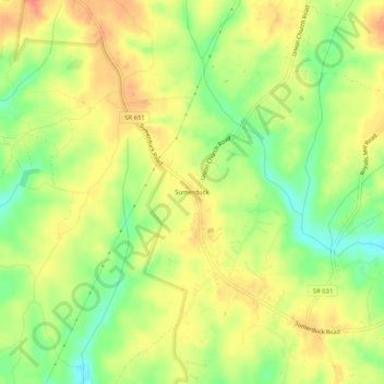
Name: Sumerduck topographic map, elevation, terrain.
Location: Sumerduck, Fauquier County, Virginia, 22742, United States (38.43592 -77.74706 38.47592 -77.70706)
Average elevation: 103 m
Minimum elevation: 73 m
Maximum elevation: 121 m
Other topographic maps
Click on a map to view its topography, its elevation and its terrain.