
老虎头 topographic map
Interactive map
Click on the map to display elevation.
About this map
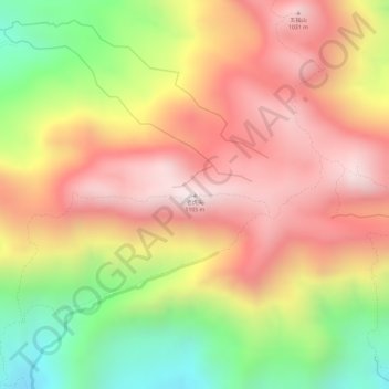
Name: 老虎头 topographic map, elevation, terrain.
Location: 老虎头, 广州市, 广东省, 中国 (23.70888 113.77436 23.70898 113.77446)
Average elevation: 793 m
Minimum elevation: 384 m
Maximum elevation: 1,082 m
Other topographic maps
Click on a map to view its topography, its elevation and its terrain.