
花都区 topographic map
Interactive map
Click on the map to display elevation.
About this map
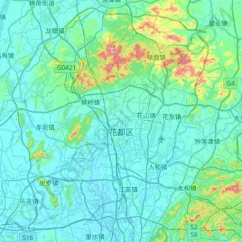
Name: 花都区 topographic map, elevation, terrain.
Location: 花都区, 广州市, 广东省, 510800, 中国 (23.23366 112.95237 23.61859 113.47054)
Average elevation: 56 m
Minimum elevation: -12 m
Maximum elevation: 537 m
Other topographic maps
Click on a map to view its topography, its elevation and its terrain.