
小梁庄 topographic map
Interactive map
Click on the map to display elevation.
About this map
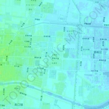
Name: 小梁庄 topographic map, elevation, terrain.
Location: 小梁庄, 赣榆区, 连云港市, 江苏省, 中国 (34.82148 119.12834 34.86148 119.16834)
Average elevation: 3 m
Minimum elevation: -3 m
Maximum elevation: 9 m
Other topographic maps
Click on a map to view its topography, its elevation and its terrain.