
小官庄 topographic map
Interactive map
Click on the map to display elevation.
About this map
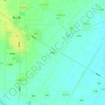
Name: 小官庄 topographic map, elevation, terrain.
Location: 小官庄, 赣榆区, 连云港市, 江苏省, 中国 (34.89519 119.00027 34.93519 119.04027)
Average elevation: 17 m
Minimum elevation: 10 m
Maximum elevation: 30 m
Other topographic maps
Click on a map to view its topography, its elevation and its terrain.