Geolocate

衢化街道 topographic map

Interactive map

Click on the map to display elevation.

About this map

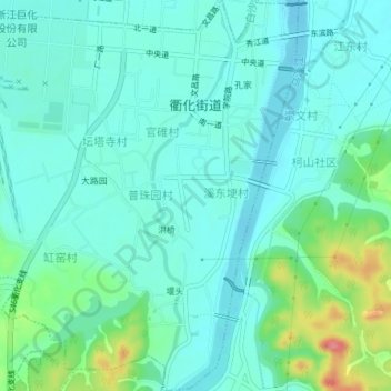
Name: 衢化街道 topographic map, elevation, terrain.

Location: 衢化街道, 柯城区, 衢州市, 浙江省, 中国 (28.87279 118.87472 28.90645 118.91222)

Average elevation: 86 m

Minimum elevation: 67 m

Maximum elevation: 154 m

Other topographic maps

Click on a map to view its topography, its elevation and its terrain.

上方

中国 > 浙江省 > 柯城区 > 九华乡

上方, 九华乡, 柯城区, 衢州市, 浙江省, 中国

Average elevation: 570 m

沟溪乡

中国 > 浙江省 > 柯城区

沟溪乡, 柯城区, 衢州市, 浙江省, 中国

Average elevation: 168 m

华墅乡

中国 > 浙江省 > 柯城区

华墅乡, 柯城区, 衢州市, 浙江省, 中国

Average elevation: 164 m

花园街道

中国 > 浙江省 > 柯城区

花园街道, 柯城区, 衢州市, 浙江省, 中国

Average elevation: 75 m

黄家街道

中国 > 浙江省 > 柯城区 > 黄家街道

黄家街道, 柯城区, 衢州市, 浙江省, 中国

Average elevation: 81 m

三沟桥

中国 > 浙江省 > 柯城区 > 花园街道

三沟桥, 花园街道, 柯城区, 衢州市, 浙江省, 中国

Average elevation: 72 m