
鄢陵县 topographic map
Interactive map
Click on the map to display elevation.
About this map
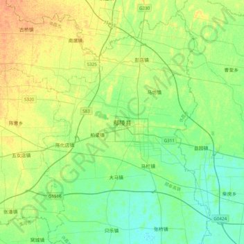
Name: 鄢陵县 topographic map, elevation, terrain.
Location: 鄢陵县, 许昌市, 河南省, 中国 (33.94953 114.00717 34.26953 114.32717)
Average elevation: 63 m
Minimum elevation: 52 m
Maximum elevation: 79 m
Other topographic maps
Click on a map to view its topography, its elevation and its terrain.