
谢坊 topographic map
Interactive map
Click on the map to display elevation.
About this map
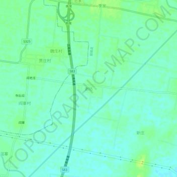
Name: 谢坊 topographic map, elevation, terrain.
Location: 谢坊, 鄢陵县, 许昌市, 河南省, 中国 (34.15185 114.11560 34.19185 114.15560)
Average elevation: 66 m
Minimum elevation: 60 m
Maximum elevation: 73 m
Other topographic maps
Click on a map to view its topography, its elevation and its terrain.