
黄沙腰镇 topographic map
Interactive map
Click on the map to display elevation.
About this map
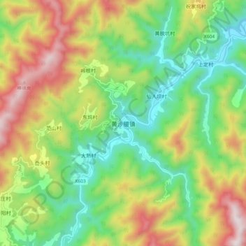
Name: 黄沙腰镇 topographic map, elevation, terrain.
Location: 黄沙腰镇, 丽水市, 浙江省, 中国 (28.37860 118.78100 28.45860 118.86100)
Average elevation: 727 m
Minimum elevation: 316 m
Maximum elevation: 1,363 m
Other topographic maps
Click on a map to view its topography, its elevation and its terrain.