
壶镇镇 topographic map
Interactive map
Click on the map to display elevation.
About this map
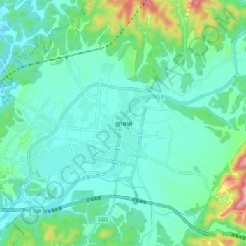
Name: 壶镇镇 topographic map, elevation, terrain.
Location: 壶镇镇, 丽水市, 浙江省, 中国 (28.77496 120.21166 28.85496 120.29166)
Average elevation: 249 m
Minimum elevation: 173 m
Maximum elevation: 551 m
Other topographic maps
Click on a map to view its topography, its elevation and its terrain.