
德夯 topographic map
Interactive map
Click on the map to display elevation.
About this map
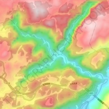
Name: 德夯 topographic map, elevation, terrain.
Location: 德夯, 花垣县, 湘西土家族苗族自治州, 湖南省, 中国 (28.32751 109.56149 28.36751 109.60149)
Average elevation: 598 m
Minimum elevation: 235 m
Maximum elevation: 887 m
Other topographic maps
Click on a map to view its topography, its elevation and its terrain.