
昌坞 topographic map
Interactive map
Click on the map to display elevation.
About this map
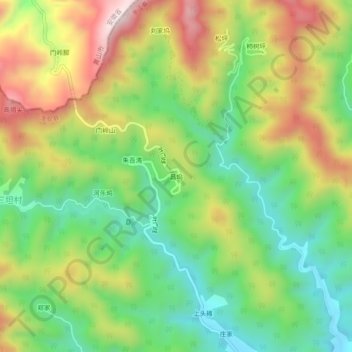
Name: 昌坞 topographic map, elevation, terrain.
Location: 昌坞, 淳安县, 杭州市, 浙江省, 中国 (29.81728 118.77193 29.85728 118.81193)
Average elevation: 381 m
Minimum elevation: 145 m
Maximum elevation: 710 m
Other topographic maps
Click on a map to view its topography, its elevation and its terrain.