
双峰县 topographic map
Interactive map
Click on the map to display elevation.
About this map
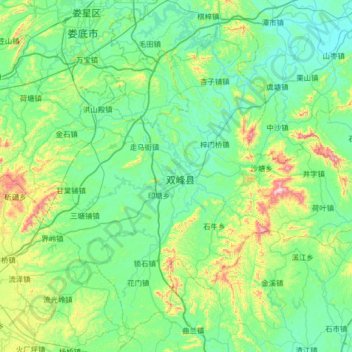
Name: 双峰县 topographic map, elevation, terrain.
Location: 双峰县, 娄底市, 湖南省, 中国 (27.21124 111.86379 27.71399 112.51646)
Average elevation: 179 m
Minimum elevation: 42 m
Maximum elevation: 788 m
Other topographic maps
Click on a map to view its topography, its elevation and its terrain.