
三江镇 topographic map
Interactive map
Click on the map to display elevation.
About this map
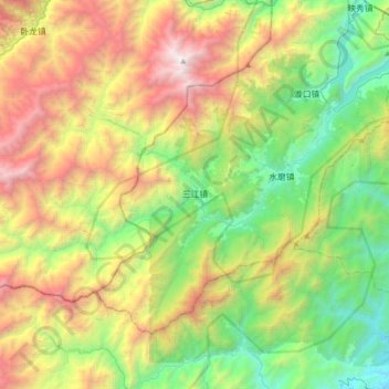
Name: 三江镇 topographic map, elevation, terrain.
Location: 三江镇, 汶川县, 阿坝藏族羌族自治州, 四川省, 中国 (30.79436 103.03197 31.04006 103.37641)
Average elevation: 1,875 m
Minimum elevation: 664 m
Maximum elevation: 3,952 m
Other topographic maps
Click on a map to view its topography, its elevation and its terrain.