
花果园 topographic map
Interactive map
Click on the map to display elevation.
About this map
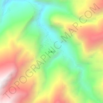
Name: 花果园 topographic map, elevation, terrain.
Location: 花果园, 雁门乡, 汶川县, 阿坝藏族羌族自治州, 四川省, 中国 (31.42163 103.62821 31.46163 103.66821)
Average elevation: 2,395 m
Minimum elevation: 1,599 m
Maximum elevation: 3,372 m