
Populierenwijk topographic map
Interactive map
Click on the map to display elevation.
About this map
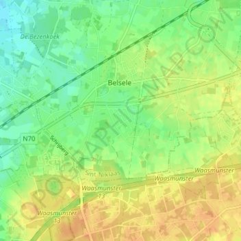
Name: Populierenwijk topographic map, elevation, terrain.
Average elevation: 19 m
Minimum elevation: 4 m
Maximum elevation: 33 m
Other topographic maps
Click on a map to view its topography, its elevation and its terrain.
Valk
België > Oost-Vlaanderen > Sint-Niklaas > Sint-Niklaas > Belsele
Valk, Belsele, Sint-Niklaas, Oost-Vlaanderen, 9111, België
Average elevation: 16 m